

 |
 |
||||
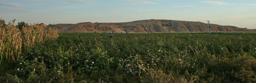
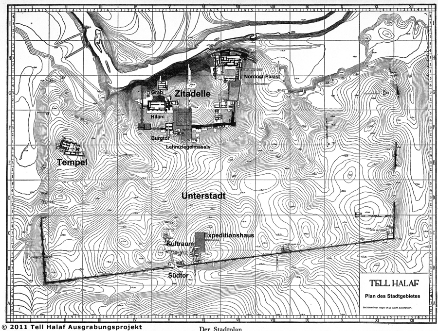
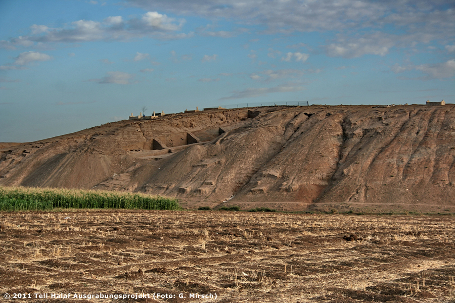
TopographyDr. Lutz MartinThe archaeological site of Tell Halaf (ancient Guzana) covers an area of over 55 ha. The settlement including the lower town is roughly rectangular. The ancient settlement consists of a low, uneven plateau – from which six mounds arise – and a significantly elevated citadel also of an approximately rectangular form (Fig. 1-2). The latter is located in the northern part of the settlement on the southern bank of the Djirjib. On three sides, the entire city was surrounded by a city wall with a deep moat in front of it. To the north, the Djirjib represented a natural boundary. Due to modern building activities, the ancient city walls are no longer visible. As a result of the long history of settlement, a tell has formed which rises up to 26 m above the surrounding plain in the area of the citadel. Thus, the mound, which is visible from a great distance to the north, can be considered a tell in its original meaning (the arabic name for a settlement-mound) The village of Tell Halaf, which came into being during the 1970’s, has expanded and today it reaches the borders of the citadel. The entire ancient lower town is covered by modern buildings. Erosion-channels have formed on the northern slope of the citadel, some of which cut deep into cultural layers. (Translation: B. Finkbeiner / A. Sollee / B. Sollee) |
|
||||
|
|
|||||