

 |
 |
||||
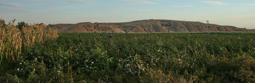
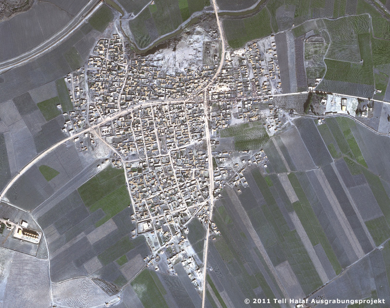
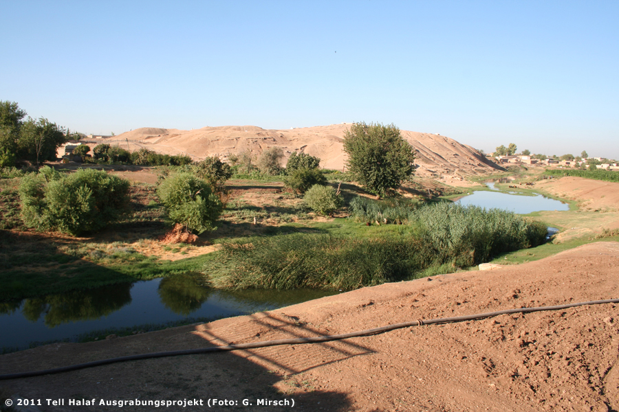
Location of the TellProf. Dr. Mirko NovákTell Halaf is situated at 36°49' northern latitude and 40°02' eastern longitude, ca. 2 km west of the modern town of Ras al-Ain in the Syrian district of Hasseke. The Djirjib, the westernmost headwater of the Khabur, runs along the northern flank of the tell (Fig. 1). The rich water resources gave the town of Ra’s al-‘Ain («head of the spring»), inhabited by ca. 25,000 people, its modern name. About 20,000 people live in its Turkish sister-city, Ceylanpinar. The extremely fertile soils of the so-called «Khabur-Triangle» between the Tur ‘Abdin and Hassake allowed for a flourishing of agriculture. This seems to apply to all periods of human history, as demonstrated by innumerable large tells in this region. At all times, trade was the most important source of income: From east to west the Khabur triangle was crossed by the so-called «Assyrian Corridor», since ancient times Assyria’s most important link with the northern Levant, the Mediterranean and Anatolia. To this day, this ancient trade route, called the «King’s Road» in Assyrian sources, is marked by the course of the «Baghdad Railway», which passes right to the north of Tell Halaf and forms the modern borderline between Turkey and Syria. Branching off from this road, other routes follow the river southward to the Euphrates and on to Babylonia and the Persian Gulf, as well as northward across the Tur ‘Abdin to eastern Anatolia. (Translation: B. Finkbeiner / A. Sollee / B. Sollee) |
|
||||
|
|
|||||